USC Spatial Sciences Institute

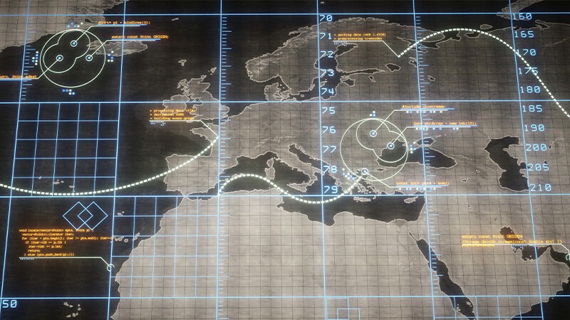
The USC Spatial Sciences Institute faculty and staff explore the frontiers of advanced spatial analytics and the potential that results when combining artificial intelligence, image processing and machine learning with geospatial infrastructures. In particular, we specialize in building GIScience models, spatial decision support systems, and tools, as well as spatial data capture, remote sensing, spatial analysis, the modeling of environmental and human health outcomes, urban ecology, conservation, and sustainability.
